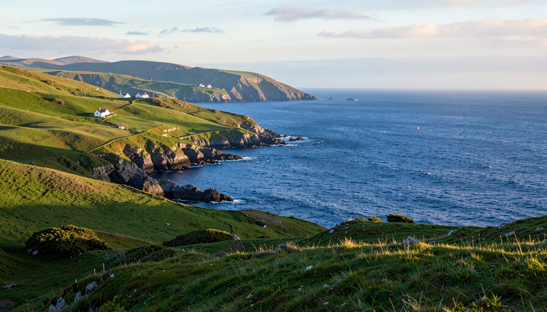
Mudflats and estuaries for wading birds near Cahersiveen
A guide to the mudflats and estuaries for wading birds near Cahersiveen follows the tidal places where shorebirds feed and shelter on Ireland’s south-west coast. The River Inny, Cahersiveen Harbour, Castlemaine Harbour and northern estuaries form a landscape of channels, mud, sand and saltmarsh. The richest birding usually happens as the water withdraws, and each site rewards a different combination of timing, access and weather.
Winter and early spring bring the greatest variety. Curlews and black-tailed godwits probe soft mud, redshanks and greenshanks work shallow edges, and dunlins gather in fast-moving flocks. Ringed plovers and oystercatchers favour firmer sand, while snipe occupy marshy ground. Summer still has breeding birds, so access advice remains important after the winter flocks depart.
Low tide reveals the habitat, yet waders often feed actively on a rising tide as small creatures become accessible. The best window is commonly from two hours before low water to an hour afterwards. Timing changes by site and tide phase, so a published Cahersiveen table is better than a fixed clock time.
For Australian visitors, some practical details are familiar: both countries drive on the left and use kilometres. Kerry lanes are narrower, weather changes quickly, and Ireland’s coastline creates very different tides. Walk quietly, keep dogs under close control and treat every bird as wild, even if it appears tolerant of people.
Reading tides and choosing a time
Start with the tidal range rather than the height alone. Around the new and full moon, spring tides expose the widest mud and sand; neap tides leave more water over the same ground. Larger exposed areas can hold more birds, but they can look deceptively remote when the channel remains deep. Check swell, wind and recent rainfall as well as the timetable.
Arrive early enough to scan the channel before focusing on the nearest flock. Feeding birds often show the best patterns: redshanks working the edge, pale greenshanks standing upright, or a distant curve of curlews moving together. Listen for sharp redshank calls, rippled notes of dunlin and an occasional greenshank whistle; binoculars make all three easier to locate.
High water gathers waders on small islands, saltmarsh humps or sheltered banks. It is useful when mud is unsafe or access is limited, since birds are closer together. A long lens helps with photography, while a telescope is useful across a broad bay. Avoid playing calls to bring birds closer; disturbance can linger long after the bird moves.
Cahersiveen Harbour and the River Inny
The River Inny reaches the sea at Cahersiveen, creating a town-and-harbour setting that is easy to explore without leaving the main streets. Castle Island and its causeway provide a useful orientation point, while the estuary spreads into channels and flats on either side. Look first along the waterline, then move inland to the softer mud where curlews and godwits often forage.
Channel edges provide reliable variety. Redshanks commonly patrol shallow margins, greenshanks favour cleaner, more open water, and oystercatchers use the firmer shoreline. Dunlin may settle in dense groups that break apart when disturbed. An unusual visitor may include a kingfisher, little egret or migrant duck, but identification should begin with size, bill shape and leg colour rather than colour alone.
Use designated car parks and public paths, and keep vehicles off exposed sand unless a route explicitly permits it. Saltmarsh and shingle are fragile, and driving across them can destroy feeding habitat that birds barely notice is underfoot. At the harbour, changing water can isolate patches of mud, so watch the channel rather than following a flock blindly. Stay back from roosting groups and do not surround a resting bird.
Castlemaine Harbour and Dingle Bay
Castlemaine Harbour opens into Dingle Bay, southeast of Cahersiveen, and offers a much broader tidal canvas. The harbour, shore around Castlemaine and the sand flats near Inchydoney hold different assemblages as the tide moves. From a high viewpoint, small groups seem scattered across open sand; at low water, their feeding lines reveal how the birds use shallow channels and retreating edges.
Mixed winter flocks can be impressive here. Black-tailed godwits and dunlins work the broad flats, curlews use firmer sections, and redshanks and greenshanks patrol the saltmarsh fringes. Ringed plovers occupy exposed sand and shingle, while lapwings and golden plovers may be present in fields beside the shore. Keep field identification separate from the birds on the estuary because distant plovers can be deceptive.
Allow extra time for the drive and select one accessible section rather than trying to cover several distant points. Strong south-westerly winds can make exposed bays uncomfortable for people and birds alike, and heavy rain turns some tracks slippery. Clear, slack weather is ideal for prolonged watching. A hot drink and waterproof layers matter more than elaborate equipment on a Kerry headland.
Estuaries north of Cahersiveen
North of Cahersiveen, Sneem provides a quieter contrast in a wooded river valley. Its estuary and sheltered harbour contain a smaller area of exposed mud, but redshank, greenshank, snipe and curlew can be rewarding. The surrounding slopes and trees bring species such as robin, wren and woodpigeon into the same outing, making this a useful place for beginners learning to separate estuary birds from woodland birds.
Farther north, Waterville Harbour and the adjoining shoreline provide another mix of channels, saltmarsh and sand. Waders may be scattered rather than concentrated, so scanning the full width of the outgoing tide is essential. Egrets, herons and overwintering wildfowl can be present alongside redshank and curlew. Stay on public ground near the harbour and do not enter enclosed fields used for livestock without permission.
Smaller northern estuaries reward patience. As the tide falls, isolated pools can retain fish and invertebrates, drawing birds to an apparently empty patch of mud. Watch from the dry margin and compare feeding speeds: redshank often makes quick probes, while curlews work more steadily. A compact notebook or an offline field guide can be more valuable at these sites than a crowded viewing platform.
Ballinskelligs and the wider coastal story
Ballinskelligs, south of Cahersiveen, is better known for its sweeping sand and rocky reefs than for extensive mudflats. It is still worth checking the strand edges, creek mouths and quieter pools behind the beach, where turnstones, ringed plovers, redshanks and occasional curlews feed. The open Atlantic setting also makes this a useful contrast with the sheltered estuaries around town.
The cultural story of the headland adds depth to a visit. Ballinskelligs Priory history traces the religious settlement and the lives of its monks, linking the same shoreline to a much older pattern of travel, community and coastal change. Reading that history while watching the tide connects landscape, settlement and bird movement without turning the site into a museum visit.
Across the wider region, Skellig Michael carries UNESCO World Heritage status and a famous Star Wars filming legacy, while the local coastline continues to support ordinary winter birdwatching. At Ballinskelligs and the priory ruins, remain on designated paths, avoid climbing fragile masonry and leave historic fabric undisturbed. Pack out all litter, including fishing line, because plastic can entangle birds far from the beach.
Make your next estuary visit count
Before leaving, check tide, weather and roads, then tell someone where you are going. Binoculars around 8x or 10x magnification balance power and stability; a spotting scope is optional for broad bays. Wear waterproof layers, sturdy footwear and bright outer colours, and carry a charged phone. Never enter deep channel water or walk onto mud whose route is uncertain.
For readers in Australia, the rhythm may feel familiar around Sydney and Melbourne. Tidal birding around Botany Bay, the Parramatta River and Port Phillip Bay has active local communities, while early beach walks, dog walks and a coffee stop before breakfast are familiar habits. Check council signs, keep dogs away from feeding and roosting birds, and give people and wildlife room to share the shore.
Weekend markets in Australian cities are a familiar part of outing preparation. Melbourne’s Queen Victoria Market and Sydney’s Foreshore Markets combine food, crafts and social browsing, while suburban farmers’ markets offer picnic ingredients. Conservation law also deserves attention: Australia’s Migratory Birds Act 1991 and Environment Protection and Biodiversity Conservation Act 1999 protect listed birds and habitat, with state and territory rules adding detail. Irish and European rules are separate, so follow local signage and ranger advice.
Check the tide table, pack your binoculars, and make Cahersiveen’s estuaries your next birding stop. Arrive with time to watch one tide cycle, record confirmed sightings, and share them with BirdWatch Ireland or a local community group. Report colour-ringed birds or injured-looking waders to the local wildlife service. Leaving the shore quiet and the records useful supports both wildlife and the next visitor.