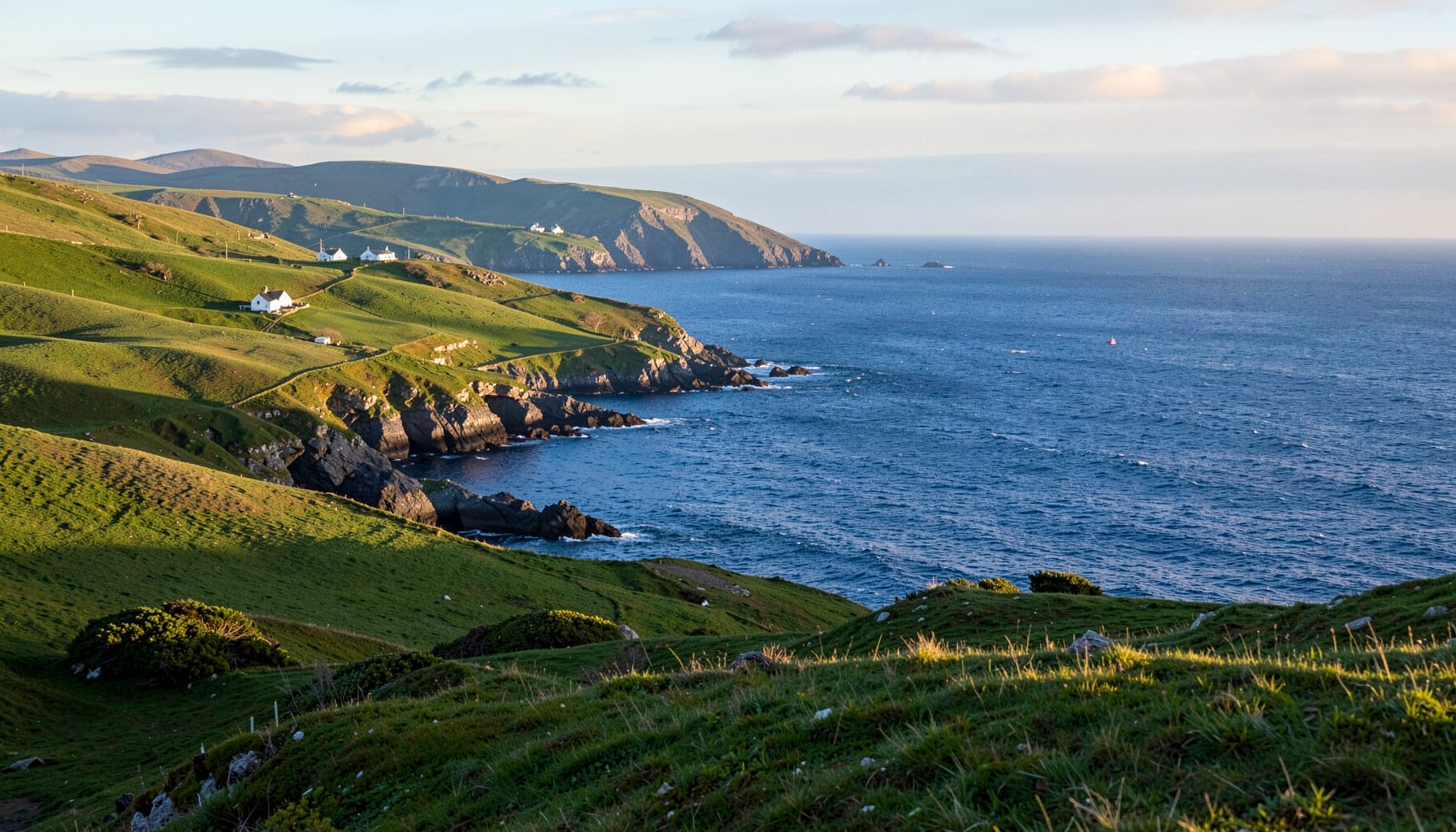
Mapping the bedrock beneath the Skellig Coast
The life of a local geologist mapping the Skellig Coast bedrock begins with a forecast, not a hammer. From a home base near Kells or Portmagee, the mapper checks rain, wind, tide times and recently exposed paths before choosing a route toward Castlecove. A storm may reveal a bedding plane; a wet morning may send the work inland. Each decision turns the coast into a working laboratory and connects village life with the ground beneath it.
The visible scenery is deceptive. Different parts of the coast contain very different rock units. Around Skellig Michael, ancient marine sediments and volcanic rocks record later folding, faulting and local alteration by heat and pressure; younger sandstone and coastal deposits occur elsewhere. Mapping establishes their stratigraphic relationships, so a cliff, gully or island can be read as part of a longer geological story.
For Australian visitors, the exercise has familiar echoes. The limestone cliffs and caves of the Great Ocean Road near Melbourne offer a useful contrast to the metamorphosed rocks around the Skelligs, while Tasmania’s dolerite columns feel entirely different underfoot. The comparison sharpens the Skellig lesson: landscape character comes from a combination of geology, erosion, climate and human history.
The mapper is also part of a living community. A geological note may inform a heritage talk, a school visit, an outdoor programme or a coastal management decision. People who walk the same lanes bring knowledge of flooding, vanished paths, old quarry faces and names that never appear on an official map. Fieldwork succeeds when those observations are exchanged without treating lived experience as less valuable than laboratory evidence.
From village weather to a geological map
The working day can start with office work and end after dusk in the field. A map created in GIS software is checked against notebooks, photographs and older survey records, then printed for places where reception fades. Coastal exposure is narrow: the geologist identifies a unit at one outcrop, follows its boundary across a field, and checks whether the same rock reappears at the next cove. This links lithology to geomorphology: resistant beds form headlands, while weaker layers wear into gullies. Distance is often measured along sheep tracks rather than straight lines.
Every useful record answers three questions: what is the rock, how is it arranged, and how sure is the geologist? A hand lens helps identify grain size and minerals; a sketch captures relationships that a photograph cannot show; a compass confirms orientation. Faults, folds, bedding and weathering surfaces are logged with their exact locations. Uncertain features remain marked as uncertain, a habit that protects both the map and anyone who later relies on it.
Local knowledge often determines what can be examined safely and efficiently. Farmers mention a soft patch after rain, walkers report a fresh rockfall, and boat users know how swell behaves beneath a particular cliff. The mapper checks those reports against maps and then transfers useful observations into the field system. When weather closes in, a laptop session can trace a structure across several photographs, compare historic maps, or prepare material for the next community session.
Reading the ancient record at the shoreline
At the shore, the oldest story is read through deformation. Beds that settled horizontally on the floor of a long-vanished sea can now tilt, fold and break. Pebbles squeezed into sandstone, veins crossing a fracture, and altered minerals around a contact all provide clues about pressure, heat and movement. The goal is not to force every visible feature into a single date. It is to build an evidence-based stratigraphic sequence that can be tested by later fieldwork.
Skellig Michael gives the mapping its most famous reference point. The island’s monastic complex, now a UNESCO World Heritage Site, was also used as a location in Star Wars: The Force Awakens. Its spiritual history and cinematic visibility attract visitors, while its exposed rock shows why engineers, archaeologists and geologists approach the landscape differently. A proposed path must respect fragile fabric, limited access and the physical work of the sea.
Alongside stone, the field notebook tracks the living coastline. The seasonal goose movements recorded along the Skellig shore connect geology to habitat: cliffs, ledges and sheltered bays influence where birds feed and rest. Mapping therefore includes more than hard rock. It helps a local guide explain why a viewpoint is busy, why a quiet inlet matters, and why careful access protects both wildlife and the experience of later walkers.
Seasons, tides and an Australian lens
The coastal calendar changes with the Irish weather. Winter gales expose fresh surfaces but can make cliffs and paths dangerous; spring brings longer working days and saturated ground; summer overlaps with heavier visitor traffic. Low tide reveals structures and rock pools, while a spring tide can cover a beach and prevent access. A reliable mapper plans around those rhythms, keeping laboratory tasks for poor days and returning to key outcrops when conditions are safer.
Australian field experience makes that planning feel familiar. Near Adelaide, local geological societies and mineral clubs often turn a collecting trip into a social day, with notes compared over a pub meal rather than left to a formal meeting. During an “arvo” coffee stop at the servo, people trade local jargon, swap photographs and argue cheerfully about a difficult identification. The same easy banter helps newcomers ask basic questions without embarrassment.
Regional tourism markets also operate through a network. Australian councils, visitor centres, volunteer groups and commercial operators each have a role, with publicly available local knowledge providing context for guides, trails and events. An overseas parallel is Volga tourism, where a regional identity helps connect smaller destinations through shared stories. The useful lesson for the Skellig Coast is to keep that information accurate, locally voiced and useful to residents as well as visitors.
Comparing coastal field experiences
The Great Ocean Road is a revealing Australian comparison because it combines dramatic coastal geology with widely visited public viewpoints. Around the Bay of Islands and Apollo Bay, cliffs, caves, stacks and folded or fractured rock create distinct routes and places to stop. On the Iveragh Peninsula, the experience is more dispersed: working landscapes, quieter lanes, boat journeys and a major offshore island form the setting, so understanding bedrock often requires reading several layers of geology at once.
A good comparison looks beyond spectacular scenery to the practical work behind it. Both destinations depend on guides, transport, local accommodation, public safety information and conservation. Their weather patterns differ, but exposed paths, mobile reception gaps and changing access rules create common needs. The Skellig mapper’s notebook, community contacts and careful tide calculations would sit comfortably alongside field notes taken on an Australian coast.
| Feature | Skellig Coast | Great Ocean Road, Australia |
|---|---|---|
| Dominant field clues | Folded and altered marine bedrock, faults, wave-cut platforms and coastal deposits | Limestone cliffs, caves, stacks, folded structures and weathered headlands |
| Working rhythm | Tides, exposed lanes, boat access and rapid Irish weather shifts | Tides, marked lookouts, road access and strong summer visitor pressure |
| Community role | Village talks, heritage groups, schools and coordination around a UNESCO island | Visitor centres, local clubs, guiding businesses and conservation programmes |
| Field preparation | Weather file, tide table, sturdy boots, notebook and offline map | Weather alerts, booked transport where needed, water and sun protection |
| Best local practice | Respect access limits, stay on agreed paths and leave specimens in place | Observe marked boundaries, avoid crowding sensitive sites and follow local warnings |
These differences show why a geology map should never be separated from its community. The same layer may be a scientific boundary, a path condition, a habitat edge, a construction concern or a story attached to a place. A local mapper holds those meanings together, while visitors gain a safer and more rewarding way to read the coast.
Make responsible choices and keep exploring
A useful visit begins with curiosity and a light pack. Whether following a public trail, joining a community walk or viewing an outcrop from a safe distance, visitors can prepare in ways that protect the evidence and the landscape.
- Check official weather, tide and access updates before setting out, then adjust the route rather than forcing it.
- Stay on marked paths and agreed access points, and respect gates, livestock, private property and conservation areas.
- Bring a notebook or map, a hand lens, water, waterproof layers and sturdy footwear; avoid a hammer and do not collect specimens.
- Record only what local guidance permits to photograph, and leave fragile plants, fossils and rock surfaces exactly as found.
- Learn from local heritage talks, school programmes and community events, asking questions that show genuine interest in living local knowledge.
- Support nearby businesses and volunteer groups by buying locally, joining scheduled activities and sharing only accurate location information.
Put the bedrock on your next Skellig itinerary. Plan a walk between Kells and Castlecove, follow the region’s official access advice, and look for the small geological clues that explain the larger landscape. Attend a local learning session, share a community event with fellow visitors, and help keep the coast useful for the people who live there long after the day trip ends.