Spanish Armada wrecks along the Skellig Coast
In 1588, Philip II of Spain sent a vast fleet to escort an army from Flanders and invade England. After the clash at Gravelines, damaged galleons and lesser vessels began a long return voyage around the north of Britain and down Ireland’s western side. The Armada was already weakened by battle, shortages and storms; Atlantic weather turned that retreat into a scattering of wrecks along the Irish seaboard.
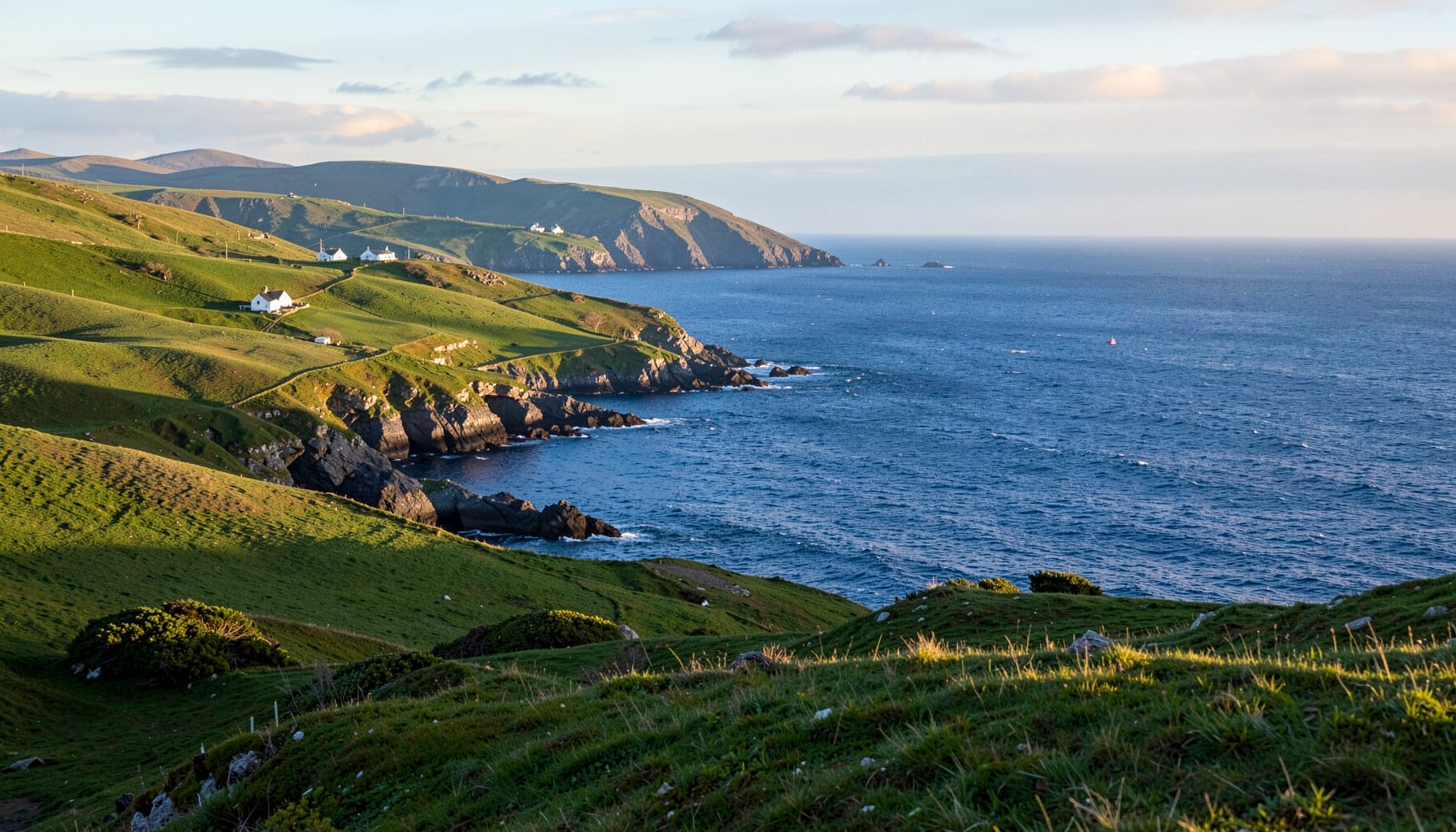
The Skellig Coast, extending around the Iveragh Peninsula and parts of the Ring of Kerry, lay close to that return route. The Spanish Armada shipwrecks off the Skellig Coast are remembered at Dingle Bay, Valentia, Portmagee, Waterville and on nearby islands. Some finds can be connected with particular vessels, while others survive through place names, burial traditions, salvaged objects and family stories. Together, they record a Spanish Crown fleet in distress and the varied responses of coastal Ireland.
Why the Armada reached the Irish coast
The Spanish campaign combined naval power with a planned invasion across the English Channel. An army commanded by the Duke of Parma was waiting in Flanders, while Spanish ships assembled at Iberian ports to protect the transports, secure the passage and engage the English fleet. Contemporary observers called the Armada a wall of sails, although it was a widely dispersed force made up of ships with very different duties, capabilities and levels of experience.
Following the battle at Gravelines, captains needed time to repair damage, reorganise scattered vessels and replenish food and water. Some sailed north to gain clearer seas, while others reached Ireland in search of shelter and supplies. A number anchored in Bantry Bay as the remnant fleet attempted to regroup. Their voyage along Ireland’s western seaboard was intended to be temporary, yet it became the setting for some of the Armada’s most destructive losses.
North Atlantic gales then scattered ships towards unfamiliar shores. The coast around Valentia, the Dingle peninsula and the Skellig islands offered few sheltered anchorages, with fog, currents and rocky headlands adding to the danger. The islands themselves were easy to mistake for parts of the Spanish coastline in poor visibility. As crews weakened and holds flooded, nearby rocks became fatal places of refuge, helping turn the Armada’s long retreat into a chain of shipwrecks.
Wrecks, survivors and local legends
Local tradition gives the losses a human geography. At Ballyheigue on Dingle Bay, Spanish Point is associated with the landing of sailors from an Armada vessel. The ruined Spanish Church is likewise linked by local memory with those who came ashore and with the community that cared for or buried them. These associations preserve an event that official Spanish records describe only briefly, placing exhausted seamen directly within the landscape of Kerry.
Other stories and scattered finds have been associated with the coast around Ventry, Waterville, Portmagee and northern Valentia. Accounts differ about the ships involved, and several traditional wreck names have proved difficult to match with surviving documents. For historians, that uncertainty is part of the story. A local tradition may retain a genuine place or incident while losing the vessel’s name, the crew’s identities or the precise circumstances of the wreck.
Not every sailor died in the storm or at sea. Some reached shore, only to face hostile soldiers, abduction or forced service, while others were helped by local people. The well-studied wreck of the La Girona near Achill and Clare Island illustrates the wider pattern along Ireland’s Atlantic coast. Coins, ceramics, cannon and personal objects recovered from that loss reveal a mixed cargo of soldiers, provisions and valuables, as well as the desperate efforts of people trying to survive.
Cannon, coins and maritime archaeology
Armada wreck sites are often fragmentary. Waves and moving sand disperse objects, while salvaging soon after a wreck can remove evidence before an archaeological team reaches the site. Cannon, coins, pottery, ship fittings, timber fragments and even a marked bell may survive, but each tells only part of the story. Their association depends on the location, the nature of the wreck and the records attached to them.
Identifying a particular ship requires careful comparison with Spanish Admiralty documents, wreck registers, local traditions and the physical objects themselves. A bronze cannon might place a loss in the right period, though it does not automatically identify its vessel. Researchers also have to separate the Armada of 1588 from later Spanish wrecks, including seventeenth-century galleons whose cargo and construction can look similar in a simplified display.
This cautious approach has familiar parallels in Australia. At the Australian National Maritime Museum in Darling Harbour, Sydney, shipwreck objects are interpreted through research, conservation and precise provenance. The lesson transfers well to Kerry: a dramatic object attracts attention, while its original position and association determine its historical value. Work by maritime archaeologists, divers, local historians and community volunteers can bring those missing connections back into view.
History within living communities
The Armada story survives most strongly where it has become part of everyday local memory. Place names, ruined churches, burial traditions and stories of Spanish crews landing or dying are all forms of commemoration. Their details can vary, yet they preserve how people along this coast encountered the fleet and its aftermath. Heritage talks, exhibitions and commemorative gatherings allow those stories to be checked against documents without removing their emotional force.
Heritage also lives through shared places and practical local work. The connection can be seen in Waterville’s local food movement, where gardens and local food initiatives bring residents together and strengthen the sense of a place caring for its own future. A community garden can work much like a heritage trail: it makes local knowledge visible through produce, conversation and repeated use.
Across Australia, many visitors recognise this community scale of local life. A Saturday at Melbourne’s Queen Victoria Market can mean a deli lunch, a conversation with a stallholder and the purchase of fruit, cheese or bread from a nearby producer. Adelaide’s Central Market offers another version, with seafood counters and small food businesses drawing regular shoppers into shared indoor streets. These markets are not replicas of Waterville, but they show how food exchanges can become a form of civic memory, connecting present-day needs with the character of a town.
Following the story along today’s coast
Visitors can encounter the Armada story through the landscapes that witnessed its aftermath. Cahersiveen, Waterville, Dingle and Valentia provide different perspectives on the maritime approaches to the Skellig Coast. Offshore, Skellig Michael’s UNESCO World Heritage status introduces a much older monastic dimension, while its use as a Star Wars filming location has created a striking modern contrast. Military history, deep-time archaeology and contemporary popular culture meet within one small archipelago.
Australian travellers are usually familiar with the ritual of an early coastal walk: a thermos, a packable rain jacket and enough time to watch the ocean before the day grows busy. The Bondi-to-Coogee path in Sydney is a useful comparison, although the exposed Kerry promontories demand closer attention to tides, wind and sudden rain. Here, weather shaped real events in 1588 and still shapes the rhythm of a visit today.
Respectful exploration begins with local interpretation and ends with careful restraint. Heritage centres, libraries, community historians and the National Monuments Service can help visitors understand documented finds and protected sites. Signed coastal paths should be followed, unstable ruins should not be climbed and loose objects should never be removed. Across the peninsula, from Kells to Castlecove, the best encounter with the Armada story combines dramatic coastline, community knowledge and respect for the archaeological record.
Follow the coastal routes and allow the wrecks to emerge through the landscape: a sheltered cove, a remembered landing place, a church ruin or an object displayed with its history intact. Pair a morning above Cahersiveen with a visit to Valentia, then continue towards Waterville and the Dingle peninsula, where each stop adds another layer to the region’s maritime story.
Support locally guided heritage talks, community events and the local food initiatives that keep the Skellig Coast’s history active. When the stories of lost ships are carried by the people who live beside their remains, an Atlantic disaster becomes part of a continuing place, not merely a story from a distant year.