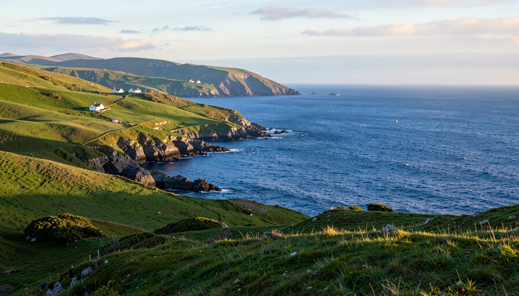
When the Railway Reached Valentia Harbour
At the western edge of Ireland’s Iveragh Peninsula, a short railway once made an essential connection between the mainland and the open Atlantic. The line ran from Cahirciveen to Valentia Harbour, the mainland port for Valentia Island, and carried passengers, mail, livestock and freight from 1883 until 1948. Its modest length concealed a larger purpose: it completed a journey by train and boat for people living far from the nearest town.
Valentia Harbour, known in Irish as Ceann Trá, was not simply the end of the track. It was a transfer point. A scheduled ferry met the railway at the quay and crossed to Knightstown, allowing island produce, mail and travellers to join the wider railway network. The arrangement joined two forms of transport that had previously depended on each other more loosely, making travel to and from the island both more regular and more predictable.
For Australian visitors, the branch offers a revealing parallel with the country roads and coastal towns familiar from trips through Victoria, South Australia or Tasmania. Many travellers arrive from Melbourne, Adelaide or Sydney, already comfortable with long distances and left-side driving, and say they are “doing the coast” or “taking the scenic route” rather than following a fixed timetable. In regional Australia, visitor spending commonly spreads through local cafés, small museums and guide operators rather than one large gatekeeper, a pattern also visible around the Iveragh Peninsula.
The railway is gone, but its traces remain in station buildings, the old trackbed and stories of island life. Walking parts of the route reveals how transport shaped settlement, trade and connection, while the harbour at Valentia still carries visitors onwards by sea. The history also explains why places separated by a few kilometres of water developed such strong links with the mainland. That story deserves to be followed on the ground, not merely read on a map.
A Branch Built for Boats, Farms and Factories
The harbour’s role as a railway terminus reflected the needs of Valentia Island as much as those of the mainland. Farmers sent cattle, sheep and agricultural produce to Ceann Trá for collection by steamers. Slate from the island’s quarries passed through the port alongside supplies needed for households and workshops. Loading a cargo at the quay allowed it to continue by sea without being unloaded and reloaded for a cart journey towards the mainland road network.
The ferry carried people, animals, mail and light freight across to Knightstown. Passengers waiting for a boat became railway passengers at Cahirciveen, while island residents travelling to larger towns could cross by steamer, change at Valentia Harbour station and board a train for the rest of the journey. Before the railway, the timetable of the boats set the rhythm of island life. The branch gave that connection a fixed place within the mainland transport system.
For the people who used it, the railway was also a link to news and essential services. Letters, newspapers and parcels arrived more regularly, and residents could reach shops, markets and medical attention with less reliance on the weather. The line did not remove the island’s isolation, since a rough sea could still interrupt the ferry connection. It made those interruptions easier to manage by offering another dependable service alongside the boats.
Construction, Steam and a Changing Gauge
The branch opened in 1883 as part of the expanding West Kerry railway system. It covered approximately 11 miles, or 18 kilometres, between Cahirciveen and Valentia Harbour. Its purpose was practical rather than grand: to bring the island’s port into the railway system and give the ferry service a scheduled connection with trains travelling towards Tralee and other parts of Kerry.
The line was originally built in Ireland’s broad gauge, 5 feet 3 inches, or 1.60 metres. It was converted to standard gauge in 1893, allowing trains to pass between the branch and the West Kerry route without a change of gauge. Steam locomotives, goods sidings and small stations supported the new connection. At Valentia Harbour, the terminus had to accommodate freight handling and locomotive movements as well as passengers waiting for the ferry.
Building the railway required engineers and contractors to work across exposed, uneven ground. Rocky sections demanded cuttings, embankments and drainage, while small bridges carried the track across water and uneven terrain. Stations were placed according to transport needs, particularly where produce and goods could be handled. The result was a modest piece of infrastructure, but one whose influence extended well beyond the communities immediately beside the track.
The Railway in Everyday Life
By the early twentieth century, the branch had become part of an established travel pattern. People used it for market days, appointments and family visits, while travellers from the mainland could continue from Cahirciveen towards Tralee and Killorglin. The interchange brought activity to the station area, where porters, railway employees, local traders and people waiting for the boat formed part of everyday life in Valentia Harbour.
Freight could be more important than passenger numbers on a short rural line. Agricultural goods travelled towards mainland markets, while livestock, coal, building materials and other supplies moved towards the island. These deliveries affected daily life far beyond the stations themselves. A delayed shipment of animal feed or building material could hold up a farm, a public building or a local business, giving the timetable greater significance than its small size might suggest.
The rail-and-ferry connection also opened Valentia Island to visitors interested in scenery, sea air and coastal heritage. Hotels and guesthouses developed around the needs of people arriving by boat, and the island’s isolation became part of its appeal. Valentia later gained international fame through Star Wars filming, bringing a very different kind of visitor to a landscape first opened to tourism by the railway and ferry partnership.
The Last Train and the Road Ahead
Motor transport changed the economics of the branch. Cars, buses and lorries offered flexibility that a railway could not match, especially for short journeys and farm collections. Passenger numbers declined, the cost of maintaining the isolated line rose and road vehicles took over most of the traffic. Regular passenger services ended in 1948, with freight traffic also ceasing that year.
Closure did not sever every connection between the island and the mainland. Boats continued to serve Valentia, but the convenient rail-and-ferry arrangement disappeared. Rails were lifted, much of the trackbed was absorbed into roads, fields or other land uses, and the railway stations became reminders of a transport system that had once shaped the peninsula’s western edge.
The former Cahirciveen station has been restored and adapted as a heritage centre, preserving the railway story within the town. Other traces include platform edges, embankments, scattered railway artefacts and sections of the old alignment. These remains do not form a continuous museum trail, since roads, boundaries and private property interrupt the route. Their value lies in showing how a small line once linked farms, quays, island settlements and the wider world beyond Kerry.
Keep the Old Line Alive on Foot
The old railway is best understood as a series of places rather than one uninterrupted path. Cahirciveen’s station, Valentia Harbour’s quayside remains and stretches of trackbed can be approached separately, allowing walkers to connect transport history with the coastal landscape. Australians accustomed to scenic heritage trails often appreciate this combination of railway history and open country, although the broken route requires more attention than a maintained, signposted recreational path.
Access information is essential, especially for visitors whose dogs are part of their walking routine. Trail planners can consult this trailhead guide to check dog-friendly policies before choosing a route.
-
Begin at Cahirciveen’s restored station. The heritage centre provides a useful starting point for understanding the branch, its ferry connection and the later replacement of trains by road vehicles.
-
Look for the harbour’s working past. Valentia Harbour reveals why the railway terminated here, with the quay, ferry interface and surviving railway features explaining the transfer between land and sea transport.
-
Choose short, clearly accessible sections. Public rights of way, minor roads and surviving trackbed can be joined into manageable walks, but uninterrupted rail walking is no longer possible.
-
Keep expectations realistic about access. Check land ownership, parking, road crossings and local conditions before leaving. Some stretches are exposed, uneven or close to working farms and livestock.
-
Pair the railway with nearby maritime heritage. A visit to Knightstown, Portmagee or a Skellig Michael departure adds context for the landscapes that generations of island travellers saw from the train and ferry.
-
Support community knowledge and local businesses. Share expenditure with village cafés, small museums, guides and heritage centres. Their seasonal programmes and volunteer effort often sustain the story after the railway has disappeared.
Make the journey part of the heritage experience: visit the old station, walk a safe section of the route, listen to local accounts and take the ferry connection as a reminder that transport history survives wherever people continue to use the harbour. Share the route with a walking companion and help keep the railway’s memory in the communities it once connected.