Autumn Walks for Changing Colours on the Iveragh Peninsula
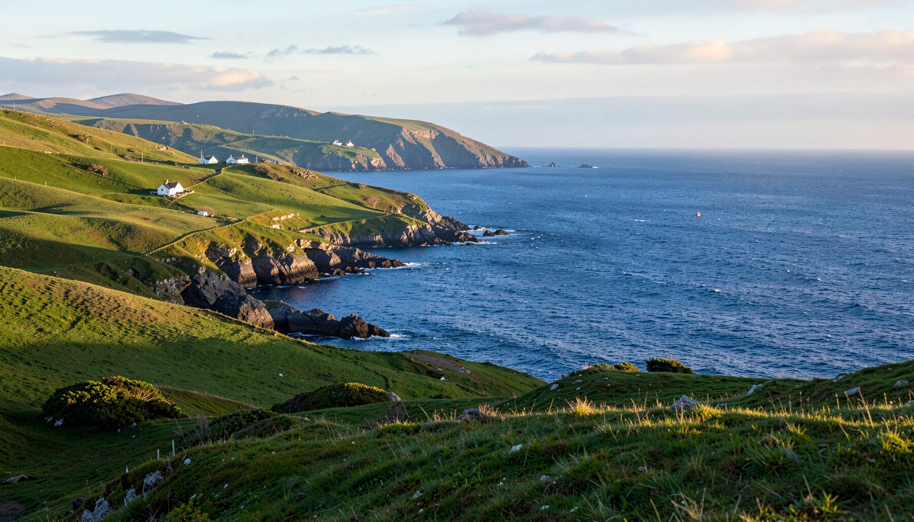
Autumn brings a softer landscape to Ireland’s Iveragh Peninsula. The mountains remain green, while woodland edges, bracken slopes and coastal grasses begin to turn copper, gold and crimson. On quieter paths, the changing foliage can be striking without the crowds associated with more famous autumn destinations.
For Australian travellers, the timing is the biggest adjustment. March to May is autumn in Australia, but Irish autumn generally arrives from September through November. Late October and early November often bring the richest combination of low sunlight, russet bracken, yellowing birch and lingering purple heather.
The terrain also feels different from the bush trails many visitors know around Sydney, Melbourne or Hobart. Paths can be uneven, boggy and slick beneath Atlantic rain, and weather may shift within an hour. Waterproof boots, warm layers and a packed waterproof jacket are more useful here than a light rain shell alone.
Choosing the best autumn walks to see the changing colours on the Iveragh Peninsula starts with matching the route to local conditions. Some tracks pass through sheltered woodland, others cross exposed ridges, and a few combine heritage villages with views of the Atlantic and Skellig Michael.
Reading the autumn palette
Irish autumn colour develops gradually. Bracken on steep hillsides often changes first, spreading rusty red through the heather. Rowan trees can develop vivid orange-red leaves, while birch, ash and sycamore add brighter gold around streams, lanes and sheltered settlements.
The strongest displays often occur after cool, wet weather, when low autumn sunlight breaks through cloud. Look closely at bog cotton, yellowing rushes and lichen-covered rocks for smaller details. Even where the trees remain green, a shift in light gives the landscape a warmer, more dramatic character.
Photographers should allow time for passing showers rather than waiting for a completely clear sky. Mist lifting from the bays, sunlight across wet rock and rain moving through the mountains can be more atmospheric than a cloudless panorama. Kells and the villages around Valentia provide useful orientation points before setting out on the trails.
Sneem and Waterville woodland routes
The Kerry Way between Sneem and Waterville is one of the easiest ways to experience the peninsula’s autumn scenery. The route covers roughly 13 kilometres through the Coomoge valley, combining open mountain views with sections of woodland and river country. It can be walked in either direction, with Sneem and Waterville offering bus and taxi connections for a one-way journey.
For a shorter and more energetic outing, explore the paths around Glencarig Mountain near Waterville. The established loop takes approximately five to six kilometres, with around 200 metres of ascent through forestry tracks and open hillside. The summit area gives wide views towards the coast and helps reveal how the autumn colours run across the slopes.
Wildlife and autumn ground colour can make these trails rewarding outside the main walking season. Red deer, sheep and ponies use parts of the surrounding uplands, so walkers should follow signs, close gates and keep dogs under effective control. Boots may become muddy after rain, although the underlying paths are generally easy to follow.
Caherdaniel and the coastal Kerry Way
Continuing west from Waterville, the Kerry Way reaches Caherdaniel in a stage of about 11 kilometres. This route has a different atmosphere from the wooded Sneem valley. The coast, open fields and hills around the village receive more wind, while sheltered sections of the path provide excellent places to study autumn leaves beside the water.
Castlecove offers another good coastal option, with short walks around the cove, shoreline and historic ruins. The nearby old railway route reveals another layer of local heritage through cuttings, bridges and former station areas. These quieter paths are particularly pleasant when autumn sunshine settles over the sheltered water.
After a walk, the Kerry Way’s larger villages provide cafés and pubs where visitors can sample local produce. The Wednesday farmers’ market in Kenmare offers a useful contrast to the familiar Australian farmers’ market, with farmhouse foods, bread, cheese and preserves sold from local stalls. Carry some euro cash, as smaller producers may not accept card payments.
Portmagee and Bray Head
The walk from Portmagee to Keem is approximately nine kilometres each way and follows a mixture of road and rugged coastal path. The route is exposed, with few trees and dramatic views across the Atlantic. In autumn, the grasses and low shrubs provide warm colour beneath a vast sky, although rain and strong winds can arrive quickly.
Bray Head offers a more demanding alternative. Its loop generally takes between eight and ten kilometres and involves a steep climb to the summit at about 833 metres. The higher ground provides sweeping views towards Valentia Island, the Dingle Peninsula and Skellig Michael. Walkers should expect rocky ground and rapidly changing visibility.
Skellig Michael is a UNESCO World Heritage Site and one of the locations used for the Star Wars films. Most boat excursions operate during the warmer months, so autumn visitors generally see it from land. That does not diminish the experience: clear days from Bray Head or the Keem cliffs reveal the island’s sharp outline and the immense scale of the surrounding sea.
Valentia Island's woodland and cliffs
Valentia Island sits just off the Iveragh coast and provides a different perspective on the same autumn landscape. The island’s coastal walk from Knightstown towards Bray Head is around 13 kilometres, passing woodland, old slate workings and exposed cliffs. Ferry services are seasonal, so check the timetable before relying on an island-based route.
The island’s sheltered paths can be calmer than mainland routes near Portmagee, though Atlantic squalls still reach the higher cliffs. Autumn colour appears in the trees around Knightstown and in the bracken covering many island slopes. On clear mornings, the views west towards Skellig Michael are exceptionally clear.
Getting around by road requires the same attention as elsewhere in Ireland: distances are marked in kilometres, as in Australia, but Iveragh lanes can be extremely narrow. Drive on the left and slow down for blind bends, cyclists and walkers. For a day of walking, public transport, a taxi or a local bus connection is often easier than moving a car between trailheads.
Choose one woodland route and one exposed coastal walk for an autumn visit to the Iveragh Peninsula. Check Met Éireann forecasts, ferry timetables, heritage-centre opening hours and Kerry Way access notices before setting out.
Pack waterproof layers, walk within your limits and leave time to watch the Atlantic light change the colours. Follow the Kerry Way this autumn and discover the peninsula at its most atmospheric.