Bridge and causeway: The story linking Valentia Island
Valentia Island sits just off the Iveragh Peninsula, opposite Portmagee on Ireland’s Atlantic coast. Understanding the bridge and causeway history of Valentia Island begins with recognising that its connection with the mainland has changed repeatedly as roads, landing places and transport technology evolved.
The familiar road bridge is only the latest chapter. Earlier generations travelled by boat, walked across tidal ground and used the island’s harbour for work and trade. Today’s causeway and bridge offer an easy journey, but the surrounding landscape still records the practical challenges that preceded them.
A crossing shaped by geography
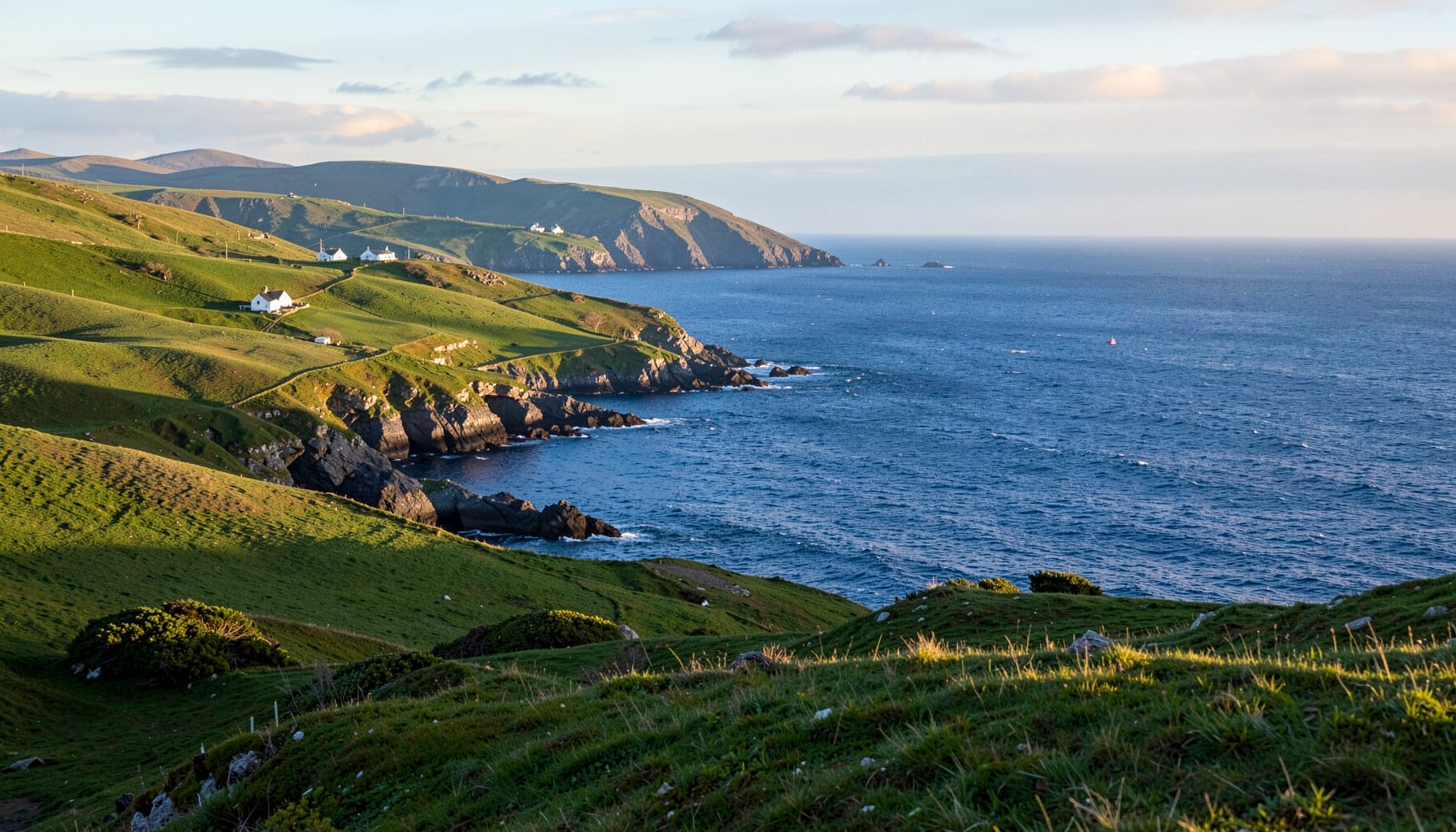
Although Valentia appears close to Portmagee on a map, the channel opens into the Atlantic and can become rough quickly. Wind direction, tides and visibility have always influenced how people crossed. A calm-looking passage from the mainland is no guarantee of a comfortable return journey when weather moves in from the west.
The island’s communities depended on that connection. Farmers, fishers, slate workers and shopkeepers needed supplies from the mainland, while visitors followed a similar pattern of arriving by sea and leaving when weather or work required it. The crossing was therefore a practical lifeline rather than simply a scenic route.
The word “causeway” can describe several features in this landscape. It may refer to a raised road approach, a tidal walking route beside a landing or the substantial walls used to create a working harbour edge. Older maps and local accounts should be read carefully, because they do not always use these terms in the same way.
Quarry stone, boats and early roads
Valentia slate was worked during the nineteenth century, with the island becoming known for the roofing material extracted there. Boats carried the finished slate from loading places around the shore, while horses and carts moved it from the quarry workings. Tracks, ramps and landing stages formed a practical network, although not a single continuous road to the mainland.
Other traces reveal Valentia’s long connection with wider communication. The signal tower on Bray Head dates from the Napoleonic period, when watchers monitored the Atlantic for hostile ships. Later, the island hosted a station associated with transatlantic cable communications. These were links in their own right, carrying information between continents rather than people across a narrow channel.
Local histories are particularly helpful when reading this landscape. Maps, harbour plans and family accounts can reveal where working tracks once met the shore. The surviving walls and altered lanes around Cromwell Point also help explain how the former ferry connected with the island’s road system.
The ferry years and island routines
For generations, the ferry provided Valentia’s principal link with the mainland. It carried people, vehicles, mail, goods and animals, while the timetable depended on tides and weather. Passengers learned to allow extra time because a short crossing could still produce an unexpectedly long wait.
Australian travellers often compare such journeys with the public ferries familiar in Sydney or around Melbourne’s Port Phillip Bay. The comparison highlights both sides of island life: a regular public service on one hand and complete dependence on weather on the other. Both Ireland and Australia drive on the left, but the organisation of the crossing and its surrounding roads remains distinctly local.
The ferry also shaped everyday routines. Arrival times influenced market trips, school travel and deliveries, while bad weather could delay essential supplies. Island businesses developed around the rhythm of the sailing, just as mainland cafés, shops and community organisations now accommodate the steady flow of vehicles using the bridge.
Building the Skellig Bridge
The present road bridge, often called the Skellig Bridge or Valentia Bridge, opened in 1993 and replaced the ferry as the island’s dependable all-weather connection. It joins Valentia to the mainland near Portmagee, with raised approaches crossing the tidal margins around the bridge.
This was modern transport infrastructure rather than a romantic addition to an ancient route. The bridge allows buses, cars, contractors and emergency services to move without consulting a sailing timetable. For residents, that reliability affects everything from healthcare appointments to the arrival of building supplies.
The change also altered the relationship between neighbouring communities. Portmagee and Knightstown, the island’s principal settlement, became closely linked by road, while the harbour retained its working character. The causeway ceased to be the point of embarkation and became part of an everyday route between the two shores.
Reading causeway evidence today
From an authorised viewpoint, the causeway and bridge reveal how carefully engineers negotiated the shoreline. Rock, concrete and embankments meet exposed weed, tidal channels and open water. The structures appear simple from a distance, yet their purpose becomes clearer when the tide exposes the natural ground around them.
A history-focused visit is richer when the modern crossing is placed alongside older layers. Look for harbour walls, altered road alignments and the remains of ferry-related infrastructure near Cromwell Point. Local guides can also explain which surviving features relate to the working harbour and which belong to the later road scheme.
Modern traffic law matters here. Ireland’s Road Traffic Act and local parking regulations apply, while Australian visitors are accustomed to state road rules and council by-laws. The basic instruction is the same: read the signs and obey them. Do not stop on the bridge, obstruct the roadway or assume that a convenient shoulder is a legitimate parking place.
Walking the historic landscape
A short history walk can begin around Portmagee harbour and continue towards the bridge approaches. The route allows visitors to compare the working waterfront, the modern crossing and the island’s coastal slopes. Conditions change with the weather, so footwear with good grip is more useful than footwear chosen for appearance alone.
On the island, walks towards Bray Head add layers of military, maritime and communication history. The signal tower and cable station show how Valentia was connected to international affairs, while roads and shore paths reveal the practical settlement around them. These routes are best enjoyed with local information, especially where paths cross uneven ground or private property.
For a useful international comparison, this Pacific Northwest trailhead guide offers another perspective on coastal trail access. Both landscapes reward attention to weather and access points, while their histories of movement remain rooted in very different economies and communities.
Plan a crossing-focused visit
Use the bridge as the starting point for a wider exploration rather than treating it as an isolated attraction. Portmagee provides access to the harbour and island crossing, while the wider Skellig Coast connects those stories with villages, heritage sites, outdoor programmes and local events. Check current transport timetables and Kerry County Council notices before setting out.
Australian road-trip habits have natural counterparts here. Filling the tank before heading towards a remote or rural area is sensible when the nearest fuel stop may be beyond the return journey. A walk often ends with food or a drink in a local pub, and the familiar Australian ritual of a pub quiz has a close Irish equivalent in a village where many residents can name one another.
Regional markets also provide a useful parallel with places such as Richmond in Melbourne, where shoppers seek produce and food from nearby producers. Valentia’s community life has similarly been shaped by connections between island and mainland. Keep some time for those businesses and for conversations with residents, whose knowledge of ferries, tides and road changes adds detail to any historical account.
Make the bridge-and-causeway story the beginning of your next Skellig Coast journey. Explore the region’s community and heritage features, walk the old routes with care, and let Valentia’s layers of transport history lead you towards the island’s landscapes, people and working shoreline.